The Warmup Assignment
See the FAQ for common questions about the warmup.
Overview
Your task
You need to implement probabilistic software
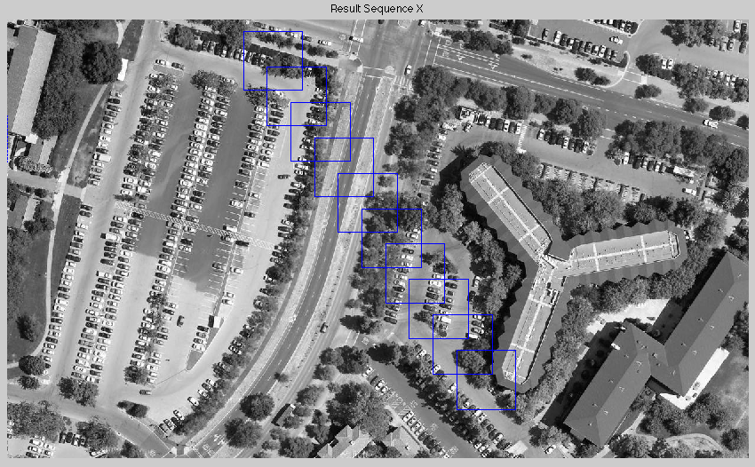
that localizes each sequence of images to the aerial image 'map.png'.
Hand-in
You need to hand in multiple things:
- A written report describing (a) the basic ideas of your solution; (b) where in the code these basic ideas can be found; (c) your results.
-
The results comprise a best guess of the vehicle path, and also the time it takes to compute this. The more detail you give (e.g., how many particles in the particle filter), the better.
-
Your documented software.
The hand-in must be submitted via a single PDF file. Please attach the PDF to an email with the subject line "[CS226] Warmup" and send to:

Data
All data and software can be found in http://cs226.stanford.edu/warmup/
|
data.tgz
|
Tar archive of all data in the directory data/..
|
|
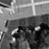
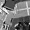
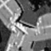
warmup/data/100
| Data files with patch
side 100 by 100 pixels. There are five separate sequences here, called
ALL, BLDG, PARK, ROAD, TREES. Each sequence is comprised of 10 sensor
images. The naming should be pretty obvious. For example,
patch_BLDG_7_100.png is the 7th image of the BLDG sequence, at
resolution 100x100 pixels.
|
|
warmup/data/50
|
Same as above, but with patch side 50 by 50 pixels. Because these patches are smaller, the task of localization is more difficult.
|
|
main.m and
makesens.m
|
Matlab files that we used to create the data from the aerial image sensors_all.png.
|
|
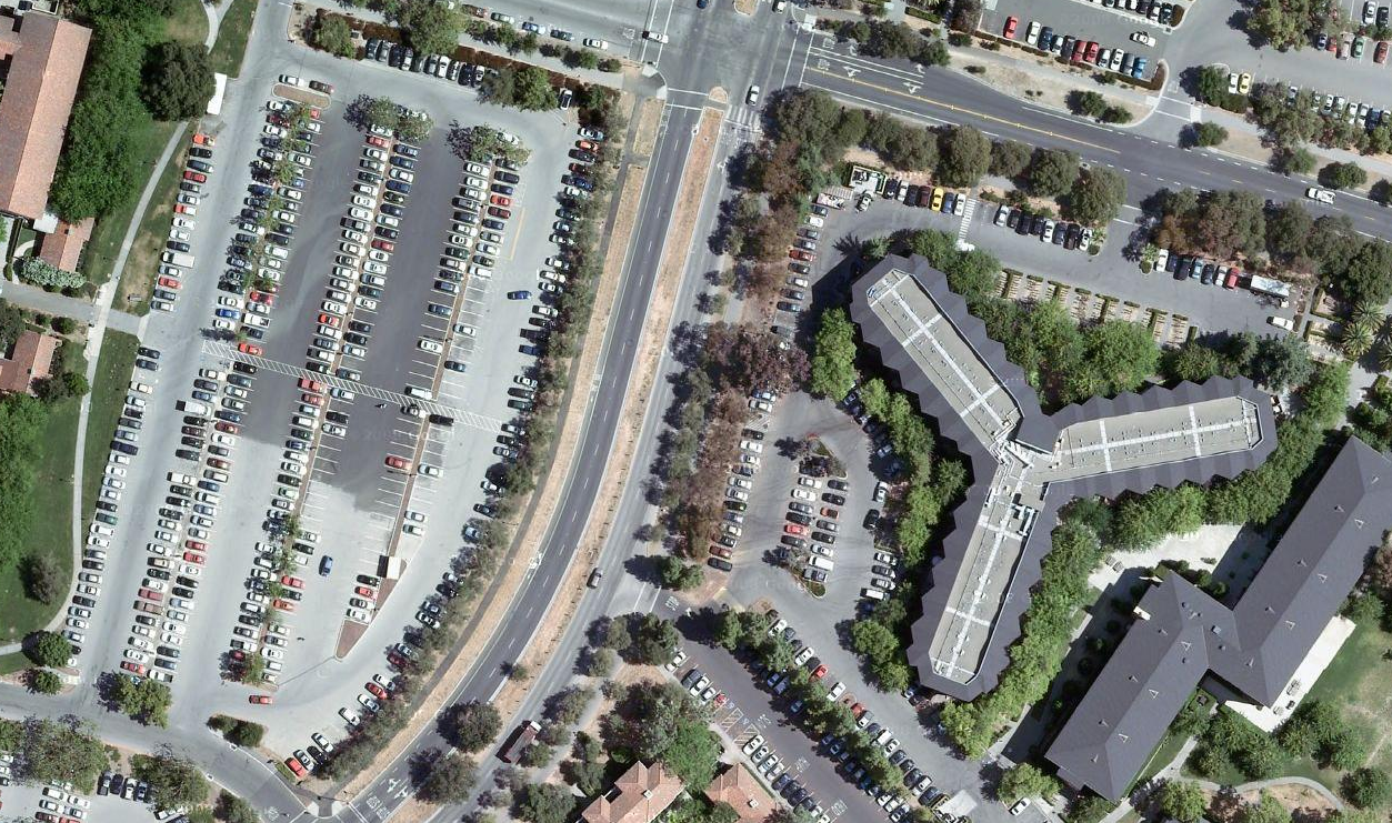
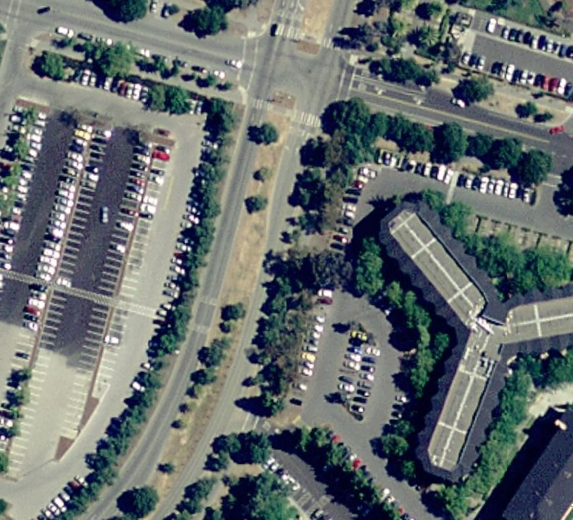
map.png and
sensors_all.png
|
Aerial images: you should only use map.png for localization. sensors_all.png is only provided in case you want to generate more sensor data
|
|
test.m and
match.m
|
An interesting matlab program to study: It uses image convolution to compute the match of a small image patch (from sensors_all.png) in the arial image map.png. Some of this code may come in handy for this assignment. If execution speed bothers you, you can implement the convolution using FFTs.
|
|
